I read an interesting book the other day. It’s called The Emerald Mile, and the author is Kevin Fedarko. The Emerald Mile is about the Colorado River, in particular the section that flows through Marble Canyon and Grand Canyon. The book discusses the history of the river, indigenous peoples, geology, dam building and environmental issues. But it really focuses upon two main story lines: a trio of river guides who attempt to break the speed record through the 277 mile-long Grand Canyon, and the danger posed to Glen Canyon Dam because of record snowmelt in the winter of 1983.
Bureau of Reclamation (BuRec) officials we’re extremely “puckered” by what they experienced in the spring of 1983. Lake Powell was beyond full and they were releasing as much water as they could through Glen Canyon Dam’s outflow (overflow) tunnels, yet the water kept rising. These things happen when you have the largest El Nino event on record, temperatures rise into the high 80s, and all your snow pack decides to head down the drainage at once. Flows had to be raised as high as 90,000 cfs. To complicate things, BuRec experienced severe problems with the dam’s outflow tunnels. This was because of cavitation. Cavitation is defined in the dictionary as “the formation of an empty space within a solid object, body, or liquid.” As it relates to liquids, and now I’m quoting from Wickipedia, “It usually occurs when a liquid is subjected to rapid changes of pressure that cause the formation of cavities where the pressure is relatively low. When subjected to higher pressure (emphasis mine), the voids implode and can generate an intense shockwave.”
Let me explain what happened at Glen Canyon Dam in layman’s terms: when subjected to the extreme volume, speed, and pressure of the water, small bumps in the concrete lining of the outflow tunnels created extreme cavitation and the water started to tear the shit out of everything, eating away at the concrete lining and the sandstone of the canyon itself. By the way, a real page turner is the document, “Cavitation in Chutes and Spillways, written by BuRec engineers. You can find it online. It discusses cavitation problems and their solutions. In the page 3 frontspiece photo you can see the “big hole” in the spillway of Glen Canyon Dam. The hole was 11 meters deep!
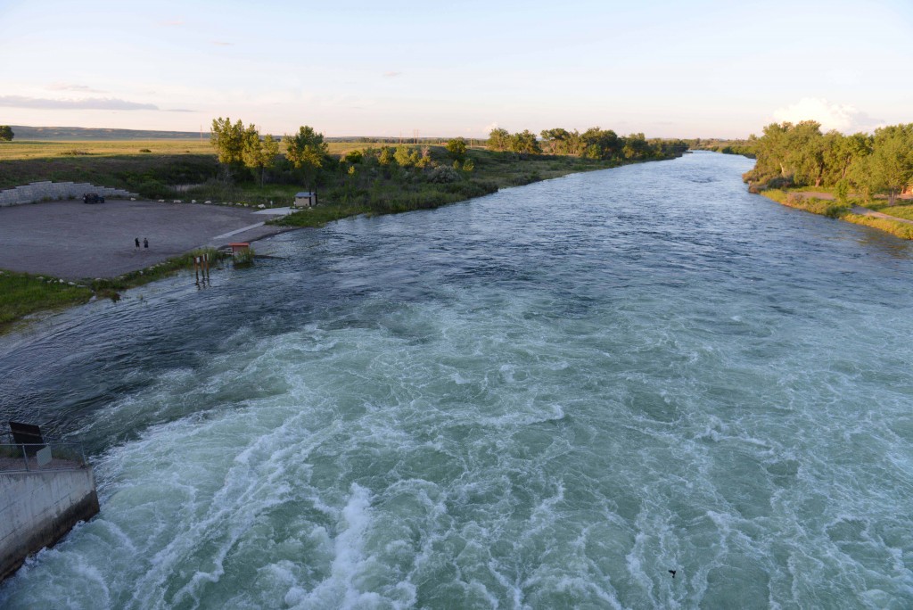
Yellowtail Dam is mentioned in the same document. Apparently, years ago they had some problems with their spillway, which was subsequently solved. That issue aside, I thought this quote from the document was pertinent: “Yellowtail Dam is located 66 km southeast of Billings, Montana on the Bighorn River. It is part of the Pick-Sloan Missouri Basin Program. The purpose of the project is to provide irrigation water, flood control, and power generation.”
Did you catch that? FLOOD CONTROL! Why don’t we operate the dam with flood control in mind anymore? Why do we completely fill the lake every spring in order to play high-stakes poker with Mother Nature. This is my point in all this. We may win a few hands, but Mother Nature will probably take the pot in the end. I enjoyed The Emerald Mile. I just don’t want to read the Bighorn River version anytime soon, nor do I want to break any downstream speed records.


